
Sign Up for Access to our Platform


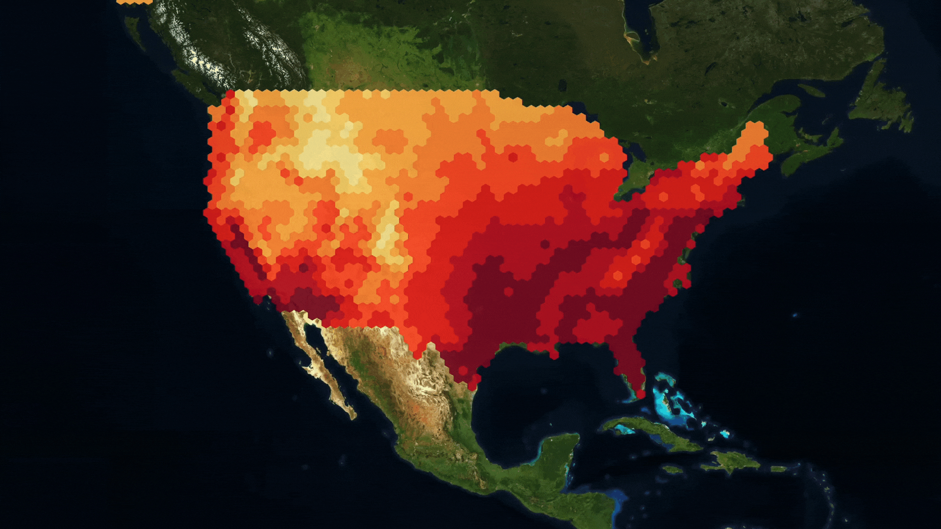
Wildfire Emissions Monitoring
By combining satellite data from the FIRMS and OCO products provided by NASA, we offer tools for wildfire emissions identification and quantification.
Read More
Dataset
Frequency
Spatial resolution
Coverage
Availability
OCO2/3 (L3)
Daily and Monthly
1.3 KM X 2.25KM
Global
From 2015
OCO2/3 (L3)
Daily and Monthly
1.3 KM X 2.25KM
Global
From 2015


Emissions Changes During COVID lockdowns
By combining satellite data from the FIRMS and OCO products provided by NASA, we offer tools for wildfire emissions identification and quantification.
Read More
Dataset
Frequency
Spatial resolution
Coverage
Availability
OCO2/3 (L3)
Daily and Monthly
1.3 KM X 2.25KM
Global
From 2015
OCO2/3 (L3)
Daily and Monthly
1.3 KM X 2.25KM
Global
From 2015


Emissions Form Land Use Change
By combining satellite data from the FIRMS and OCO products provided by NASA, we offer tools for wildfire emissions identification and quantification.
Read More
Dataset
Frequency
Spatial resolution
Coverage
Availability
OCO2/3 (L3)
Daily and Monthly
1.3 KM X 2.25KM
Global
From 2015
OCO2/3 (L3)
Daily and Monthly
1.3 KM X 2.25KM
Global
From 2015